
Hecterra: Digital control of every hectare in Uzbekistan
A specialized solution in the Wialon ecosystem for agro-clusters, farms, and machine-tractor parks. Automatic calculation of cultivated areas, mechanizer control, and fuel consumption accounting per hectare.
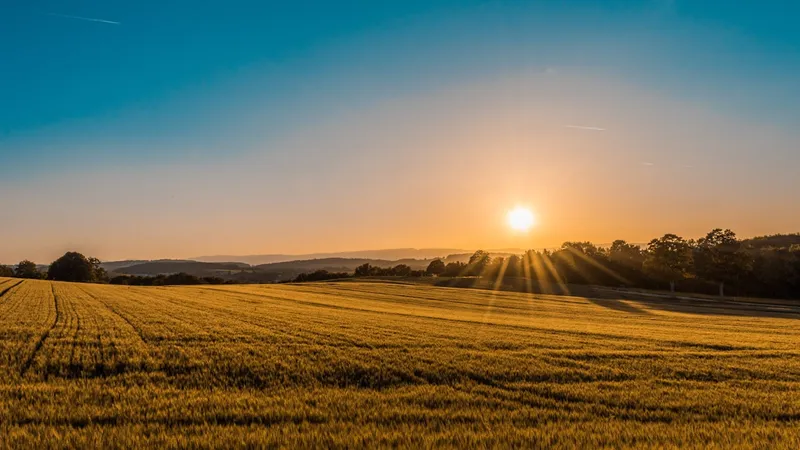
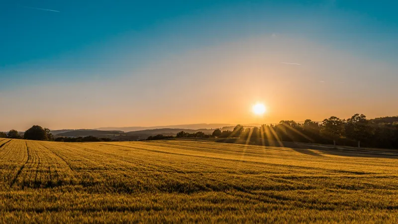
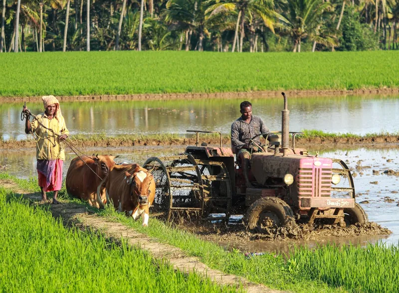
Transparent Fields
Hecterra closes the gap between the agronomist in the office and the mechanizer in the field.

Smart Recognition Algorithm
Hecterra automatically distinguishes a tractor driving on the road from actual plowing based on speed and implement usage.
Quality Control: Skips and Overlaps
Tractor track visualization shows overlaps (overspending) and skips (yield loss). The system highlights these zones.
Where do agro-clusters lose money?
Area Overstatements
A mechanizer claims 50 ha of plowing, but actually did 40 ha. The company loses the difference in fuel and salary.
Side Jobs
Machinery goes to neighboring private fields. You pay for depreciation and diesel, and the driver gets the profit.
Fuel Theft
Fuel drains during fieldwork or stops, masked as 'increased consumption' due to heavy soil.
Technology Violations
Speeding during sowing or spraying. As a result - uneven cotton emergence or plant burns, which reduces yield.
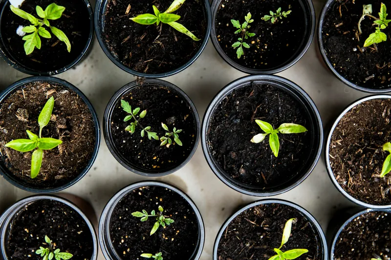
Hecterra functionality for Agronomists
Electronic Field Passport
Import field maps from KML/SHP or create manually by satellite. Setup crop directory for Uzbekistan. Crop rotation history is preserved.

Solution Advantages
Resource Savings
Payment only for actual work, fuel control per hectare.
1C Integration
Automatic data export for payroll calculation and material write-offs.
All Regions
Adapted to work in any conditions from Tashkent to Surkhandarya.
Simplicity
Intuitive interface that does not require long employee training.
Any Questions?
Get a personal offer today
Find out how the Hecterra solution can optimize your company's business processes.
Request
Consultation
Leave a request, and our specialists will help you find the best solution for your business.
Address
Tashkent, Chilanzar district, Bunyodkor Ave. 15/1
Phone
+998 94 063 33 33
info@gogps.uz