
GOGPS.UZ — GPS fleet monitoring in Uzbekistan
Earth Observation & GIS
Together with Azercosmos

Earth Observation & GIS

Azercosmos applies satellite imagery and GIS analysis across six sectors — from agriculture to defense — powered by its own GIS Center and AI-based products.

Leave a request

Data from space for decision-making

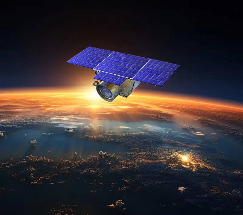
The services are built around the Azercosmos GIS Center, combining artificial intelligence, photogrammetric processing and thematic data analysis. The Azersky satellite, launched in 2014, serves as the backbone of EO and GIS services. Capabilities are extended with end-user web products: Farmer App — automated analysis of agricultural land, and WebGIS — a platform for creating and analyzing geodata in real time.
Data from space for decision-making

From a satellite image to a ready decision

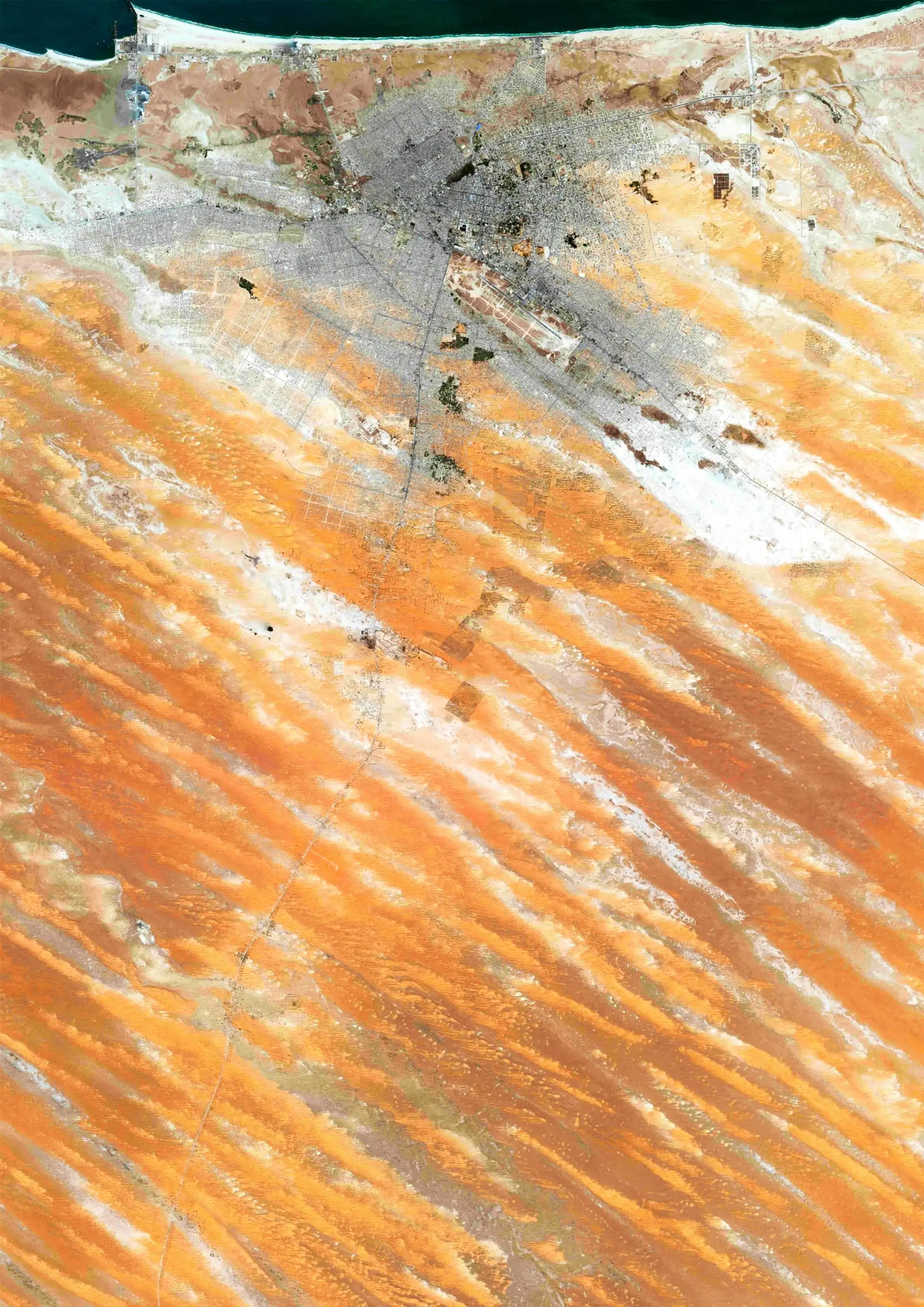
The value of remote sensing lies not in the image itself but in the analytics: the Azercosmos GIS Center combines satellite data, photogrammetry and AI algorithms, turning imagery into concrete answers — where deforestation is happening, how development is changing, what the condition of crops is. In Uzbekistan this is in demand in agriculture (field and yield monitoring via Farmer App), ecology, urban planning and water resource management. Through WebGIS the data is available in real time and updated on a single platform.

Industry applications

Agriculture

Field and yield analysis.

Urban planning

Territory development.

Ecology

Environmental monitoring.

Tourism

Cartography and planning.

Maritime

Waters and vessel control.

Defense & intelligence

Situational awareness.

GIS Center AI products

Deforestation detection

Forest cover monitoring.

Building detection

Built-up inventory.

Greenhouse detection

Agro-infrastructure accounting.

Vehicle & vessel detection

Object detection.

Super-resolution

Image resolution enhancement.

GEO360

360-degree geovisualization.

6
application sectors
7
key advantages
AI
GIS Center products
2
client web products

Questions about this service

Yes. The service includes imaging of required areas of the Earth's surface as well as access to the satellite imagery archive.
It is an automated tool for analyzing agricultural land, combining satellite imagery with field inspections to improve yields.
Ready to discuss the project?

Get a personal offer today

Leave a request, and we will prepare a commercial proposal taking into account the scale of your fleet and the features of transport and equipment operation.

GoGPS Sales Department

Request
Consultation

Leave a request, and our specialists will help you find the best solution for your business.

Address

Tashkent, Chilanzar district, Bunyodkor Ave. 15/1

Phone

+998 94 063 33 33

Email

info@gogps.uz